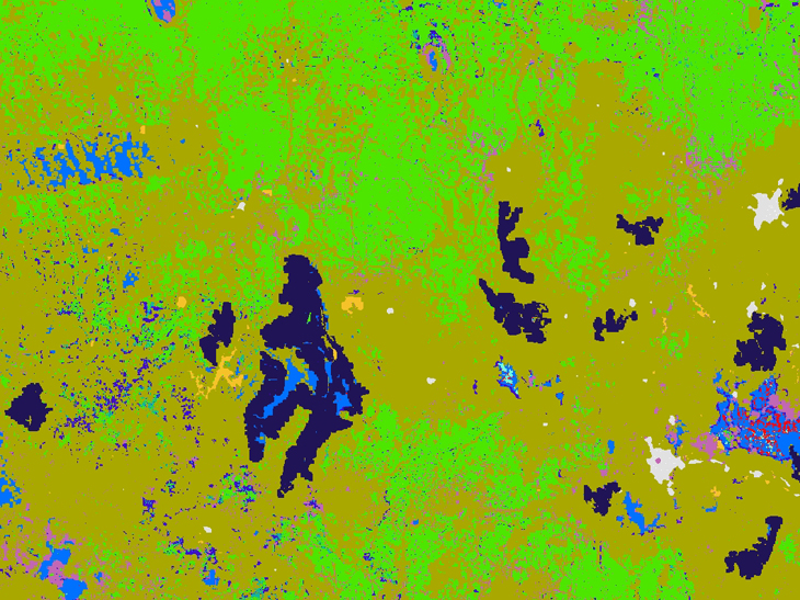
We develop a wide variety of layered ‘maps’ of the landscapes across south-eastern Australia. These ‘maps’ provide information on the distribution of plants and animals, and they help us predict the impacts of various threats on these populations. These maps also provide essential information for DELWP and other agencies to assess and compare management actions (such as weed control, pest management, fencing, revegetation etc.), and prioritise investments for biodiversity conservation. We create these maps and models by combining extensive ecological field data with environmental and remote-sensed data. There are relatively few ‘off-the-shelf’ tools or approaches to integrate the large volumes of data and information; the systems and products developed by ARI are novel and often highly innovative and developed by a highly skilled team of ecologists, mathematicians, and software engineers.

Page last updated: 02/09/19