Models for species and landscapes
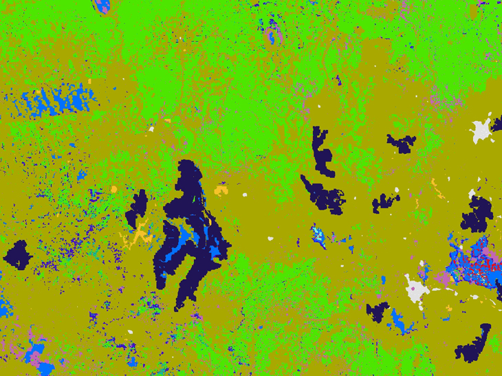
At ARI, we develop advanced models to understand distribution of plants and animals and predict the impacts of various threats on these populations. These models integrate field data, remote sensing, and environmental variables to predict how species respond to threats like habitat loss, invasive species, and different management scenarios.
By layering population dynamics with landscape-scale information, we create powerful decision-support tools that help agencies like DEECA assess management actions—such as pest control, environmental water flows, or revegetation effors—and prioritise investments for biodiversity outcomes.
Our modelling systems are built in-house by a skilled team of ecologists, mathematicians, and software engineers. These are not off-the-shelf tools—they’re custom-designed to handle complex ecological questions and large datasets, delivering innovative, evidence-based insights for conservation planning.
Page last updated: 18/09/25