What we are doing
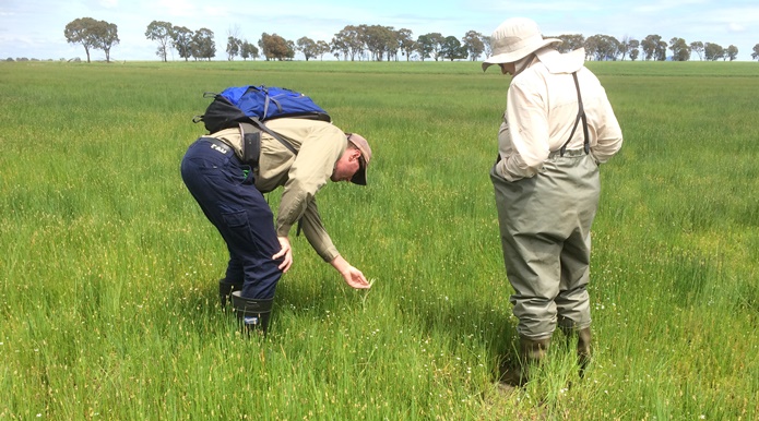
ARI's research guides environmental management on public and private land. We deliver end-to-end research, including the design and delivery decision support tools, statistical analyses and monitoring programs.
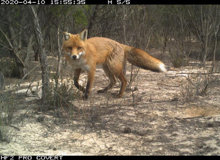
Our work helps managers better understand wildlife populations and their habitat, the condition of ecosystems, the risks associated with introduced species and assess the effectiveness of management.
We translate our science into clear, informative expert advice for land managers and policymakers. It is through our partnerships that we can support better environmental and community outcomes.

Environmental management is complex
Environmental management uses knowledge, policies, and actions to protect the natural environment. It requires clear objectives and a strong understanding of ecological processes. ARI has been gathering data on Victoria's environment since the 1970s to guide management decisions.
Over 50 years, ARI has evolved from primarily conducting field surveys to a modern research institute that provides robust scientific analysis, modelling and advice using a range of cutting-edge methods and expertise. We are continually adapting to meet the science needs of government and decision-makers.
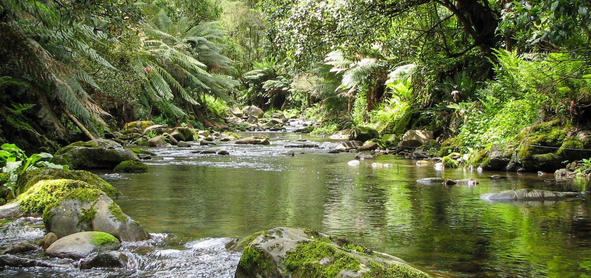
Smythe Creek, Victoria (ARI)
Page last updated: 02/12/25