The management of native vegetation is undertaken by various government and non-government agencies at the regional, state and federal level. Such agencies use information about the level of depletion and, more recently, the 'condition' or 'quality' of native vegetation. Monitoring changes in the coverage and condition of vegetation allows the calculation of 'net gain' in both the extent and quality of native vegetation across the State. ARI staff have been developing a range of novel datasets to assist land managers to make informed decisions about the management of native vegetation and conservation programs.
Existing datasets included a series of maps that detail the types of vegetation across the State. While these are integral to managing native vegetation resources, they did not capture well the extent of non-woody or grassy types of native vegetation. Using remote-sensed imagery, GIS data and custom-developed software a more consistent appraisal of the extent of both woody and grassy vegetation types have been produced, as well as an assessment of the rates of loss and gain in these vegetation forms over a 10 year period.
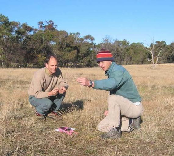
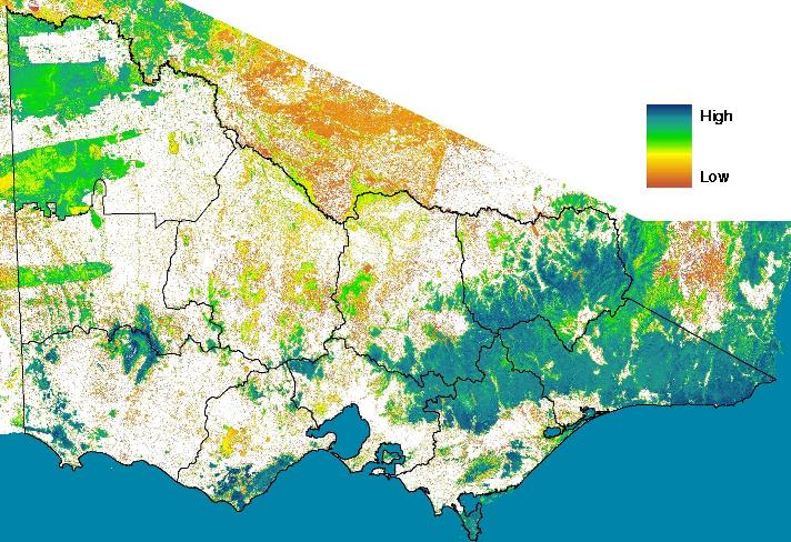
Additionally, similar technology was used to produce a first-ever model / map of native vegetation condition across Victoria. Using approximately 17,000 'Habitat Hectare' assessments, along with satellite and other data, the resultant maps display ecological condition covering most of south-eastern Australia. The maps will also provide a baseline for the continued monitoring of native vegetation into the future, as well as a more rigorous basis for making natural resource management decisions e.g. NaturePrint.
For more information contact: ari.research@deeca.vic.gov.au
Native vegetation spatial data can be accessed in various ways via the DEECA website.
The following publications are available:
- ARI Report - Victorian Land Cover Time Series 2021-2025 Short Report - 2026
- Newell, G., White, M., Griffioen, P. and Conroy, M. (2006) Vegetation condition mapping at a landscape-scale across Victoria. Ecological Management and Restoration 7: S65-S68
- Sinclair, S.J., White, M.D., Medley, J., Smith, E. and Newell,G.R. (2012) Mapping the past: constructing a digital land-use history map for Victoria, Australia. Proceedings of the Royal Society of Victoria 124(3): 193-206
A short video titled "The ecological time machine" showing how mapping the distribution of plants and animals can be used to inform decisions about habitat protection, restoration and rehabilitation is available on the DEECA YouTube channel and can be viewed below:
Page last updated: 21/07/26