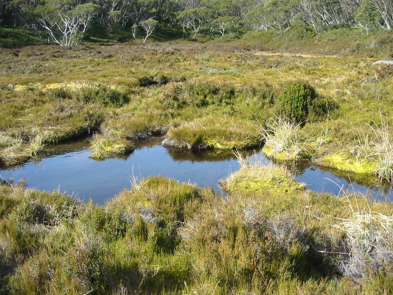
Alpine Sphagnum bogs and associated fens (or wetlands) are unique ecosystems that occupy the zone between land and water in Australia’s high country. They contribute to plant and animal diversity and provide significant benefits to the environment: storing carbon and filtering out sediments, nutrients and pathogens from water. In addition, bogs add organic carbon to water which underpins the food chain in mountain streams. They are underlain by peat soils that can be metres deep, preserving material such as pollen or charcoal. This archive can be used to estimate trends in vegetation, climate and fire regime going back tens of thousands of years.
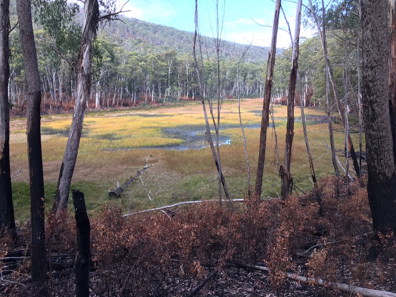
Alpine Sphagnum bogs are protected at a both a state and federal level. However, to be able to protect and manage them properly it is critical to have very accurate location information. ARI have been mapping alpine Sphagnum bogs across their 10,000 square km range in the high country for over a decade. The last bogs that still required ground-truthing to complete the survey were recently mapped in the Cobungra State Forest. The current estimate of area occupied by alpine Sphagnum bog in Victoria is now 4372 ha, mostly in national parks or reserves, but with some in state forests and private land.
Alpine Sphagnum bog mapping has been produced as a GIS layer, and can be used to make management decisions. For example, during the 2018 Tamboritha-Dingo Hill fire, Parks Victoria were able to access mapping to ensure that damage to bogs during fire suppression activities was kept to a minimum. Bulldozers and fire retardants were kept away from bogs, and helicopters dropped water to protect the internationally-significant Caledonia Fen, which has a pollen record going back 140,000 years.
There are very few vegetation communities that are as comprehensively mapped as Alpine Sphagnum bog. This information will be important as land managers work with the challenges posed by climate change and other threats, especially willows, increased fire, deer, cattle and feral horses.
For more information contact: research.ari@deeca.vic.gov.au
Cobungra bog mapping was a Victorian Government ‘Biodiversity On-ground Action – Regional Landscapes Targeted Action’ project.
Page last updated: 07/05/26