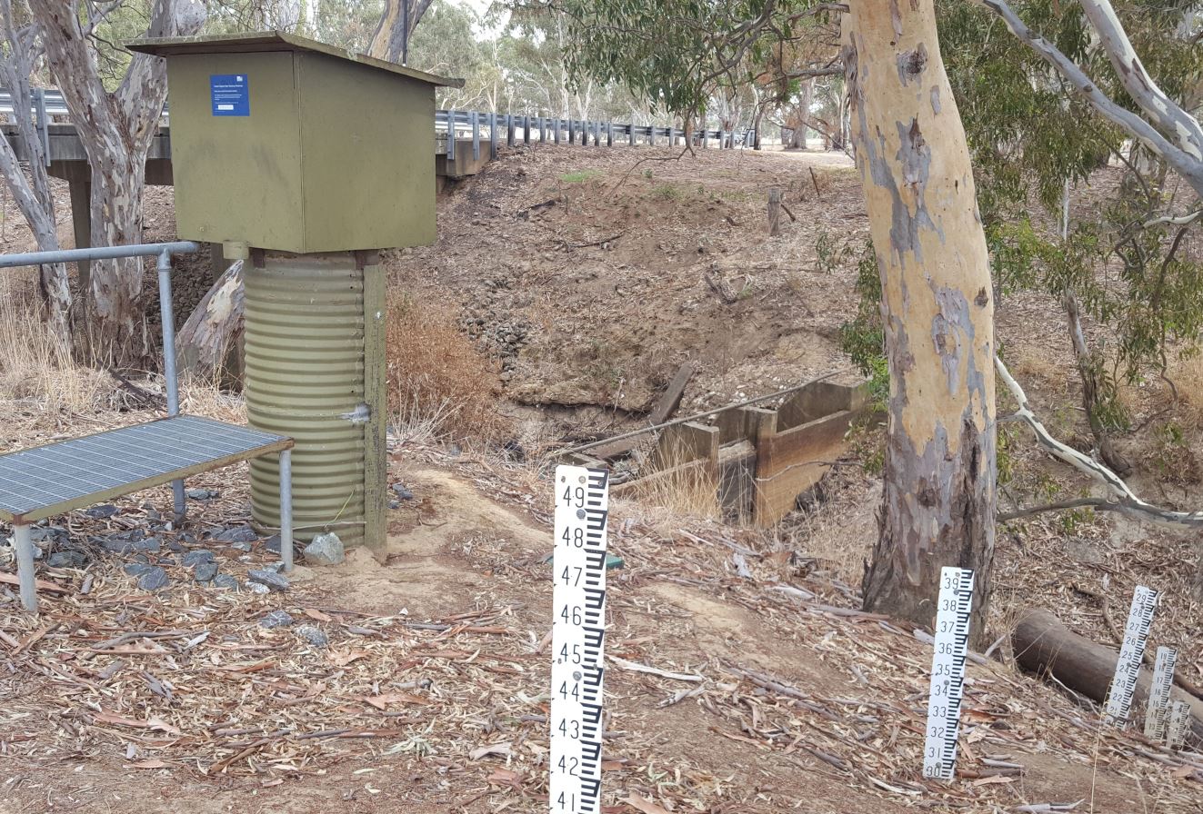
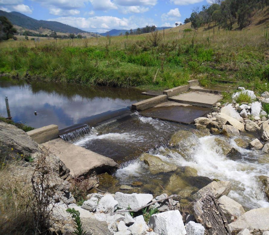
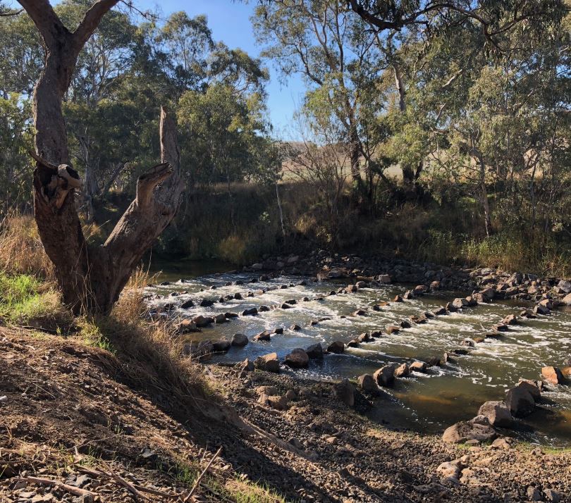
Instream connectivity is vital for healthy native fish populations, but particularly for species requiring unhindered access between freshwater and the sea. Many man-made instream barriers, however, fragment resource availability and adversely affect fish populations. Common barriers include dams, weirs, floodplain levee banks, and regulating structures, but also road culverts and fords on public and private land. Stream gauging stations, which typically consist of a concrete weir across the waterway (‘stream gauge control’) with measuring equipment on the adjacent bank, can also affect fish movement. The Fish Friendly Stream Gauging Station Program is assessing these structures to determine how much of a barrier each presents for native fish throughout Victoria’s riverine network.
Stream gauging stations record stream discharge and water quality information important for public safety (e.g. flood warnings) and are used for a range of environmental (e.g. water allocations, water quality (dissolved oxygen, electrical conductivity, water temperature)) and economic purposes (e.g. irrigation). Data generated via gauging stations are accessible via the Department of Environment, Land, Water and Planning’s (DELWP) Water Measurement Information System.
The Program is gathering and analysing information on approximately 820 stream gauges which are managed by the Water monitoring team (Water and Catchments Division of DELWP's Water and Catchments Group). Information collected includes the location of the gauge, presence of other instream barriers, stream hydrology, and presence and migratory status of fish species. Many stream gauging stations need repair or replacement works and this program is helping prioritise upgrades while improving connectivity for fish. Restoration options include fishway construction, stream gauge control replacement, stream gauge control removal or relocation, and the use of modern gauging technology. DELWP is also conducting a review of the state’s overall gauging requirements.
This program represents a significant opportunity to improve connectivity for Victoria’s native fish as well helping to modernise stream gauging infrastructure, without reducing the accuracy of the water monitoring data. It represents a collaboration between ARI, DELWP and stakeholders of Victoria’s stream gauging network (CMAs, water authorities, Bureau of Meteorology).
For more information contact: matthew.jones@delwp.vic.gov.au (project lead, ARI) or paul.wilson@delwp.vic.gov.au (Water Monitoring and Data team, DELWP).
The following fact sheet provides more details:
Page last updated: 28/03/25